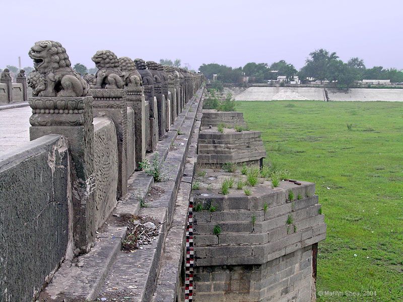
| The upstream side of the Marco Polo Bridge shows the pointed piers reinforced with iron bars that would break the water as it flowed under the bridge. The Yongding River was at times a raging torrent. You can see the markers used to gauge the height of the river built into the side of the front pier.
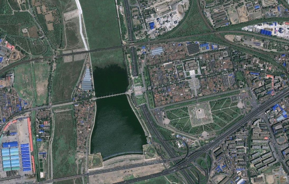
In 1999 the water was diverted from the river to reservoir upstream and diverted to other rivers. There are, or were, still tourist pleasure boats sitting abandoned on the dry riverbed. Draining the river was part of the water conservancy efforts in Beijing. On the one hand, the project was to prevent flooding during spring runoff, especially in Tianjin, on the other hand "conservancy" is a misnomer because Beijing is drinking the water. The water situation in both Beijing and Tianjin is at a crisis stage. Not only are they consuming most of the mountain runoff in the north, but water is being diverted from the south to the north to maintain the viability of the two cities. See the aerial view from Wiki maps below. 39°50'56"N 116°12'46"E Lugou Qiao.
|