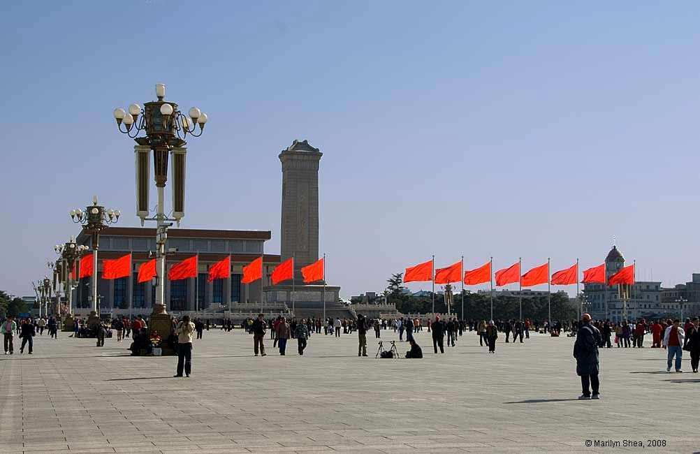
| Tian'anmen Square 天安门广场 (Tiān'ānmén Guǎngchǎng) is a magnet for history. The square is relatively new. When the new capital was constructed in 1407 to 1420, this area was part of the Inner City and was filled with administrative offices and ministries. You can see the t-shaped area in the map below. There was a wide road that led from the bridges in front of Tian'anmen Gate through a central ceremonial arch called, depending on the dynasty, the Great Ming, Great Qing, or China Gate. The road led straight to Zhengyangmen and thus out to the Outer City. Now the path is blocked by monuments and gardens. Notice that on the bottom of the map below, a second moat is indicated outside the Inner City walls. Part of that moat will be opened when the reconstruction of the Qianmen area is finished. It was an underground river for many years, covered to create a road. |
